
Cart 2 india
In2Cart
Rs. 0
0


Product Information
Specification
Binding : map
Brand : Fishing Hot Spots
BulletPoint1 : Printed on high quality waterproof and tear-resistant material by NOAA Chart Agent Paradise Cay Publications.
BulletPoint2 : Always printed on demand using the most recent NOAA data. Prepared to be display quality.
BulletPoint3 : NGA charts are not updated, mariner is responsible for updating these charts using NTM - Notice to Mariners.
BulletPoint4 : Shipped rolled in a cardboard tube Small Format charts DO NOT satisfy CARRIAGE REQUIREMENTS, and are not recommended for navigation.
Color : Multicolor
ExternallyAssignedProductIdentifier1 : 0071365902414
ExternallyAssignedProductIdentifier2 : 071365902414
Format : folded_map
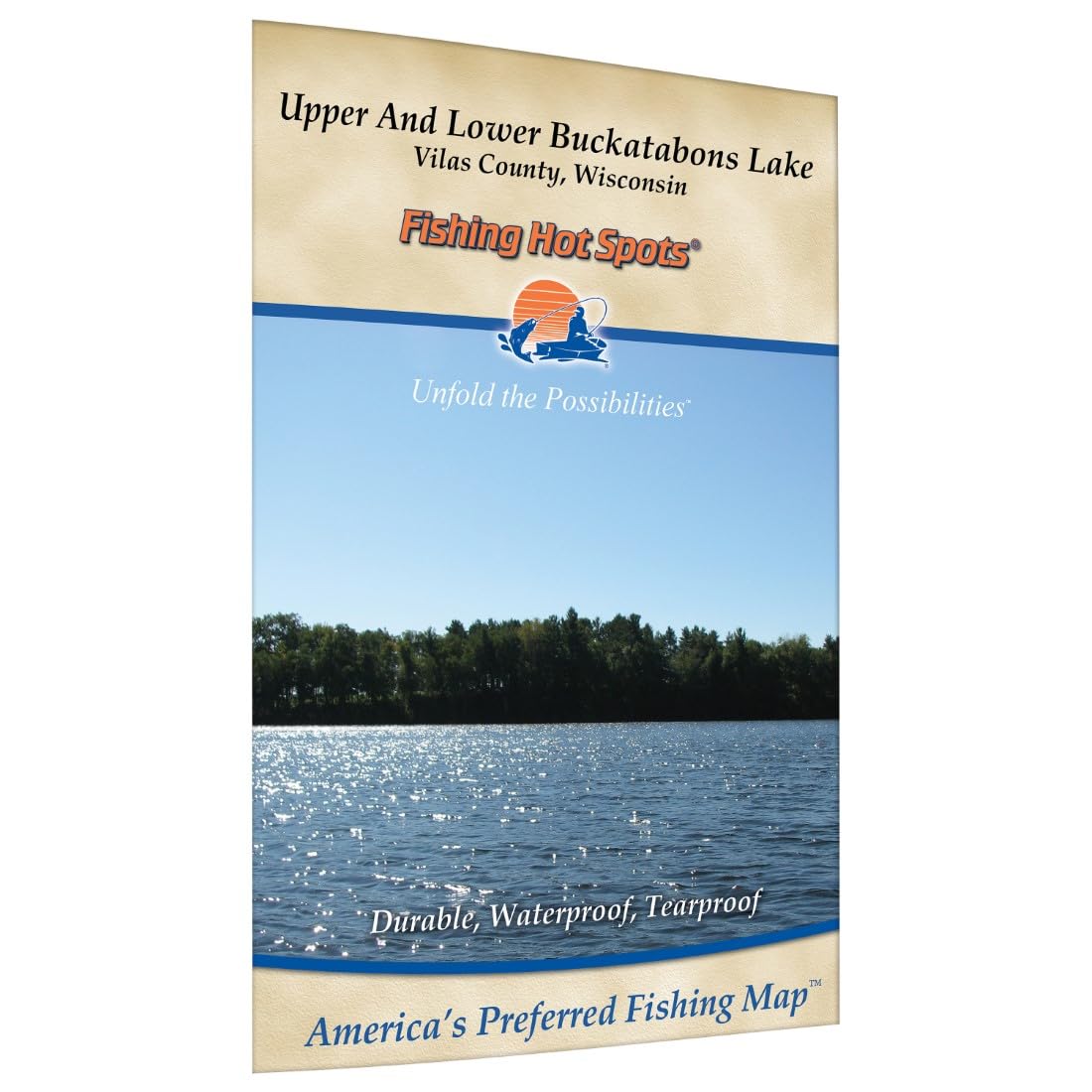
ItemName : Buckatabon Lakes-Upper & Lower (Vilas Co) Fishing Map
ItemPackageQuantity : 1
ItemTypeKeyword : fishing-charts-and-maps
Language : english
Manufacturer : Fishing Hot Spots
MapScale : 1:24,000
MapType : Topographic
PaperFinish1 : matte
PaperFinish2 : smooth
PaperSize : 12.5" x 10"
PartNumber : A312
ProductDescription : Two distinctly different lakes. The lower lake has darker water and heavy weed growth. The upper lake is clearer, has sharp shoreline breaks and limited weed growth. Trophy size muskie available. Featured Species: Muskie, Walleye, Northern Pike, Largemouth Bass and Crappie Map Features: Lake Profile Fishery Information Fishing Tips and Techniques 2Accesses 13Proven Fishing Areas Marked
ProductSiteLaunchDate : 2023-09-25T18:57:24.129Z
PublicationDate : 2017-07-22T00:00:00.000-07:00
Style : Small Format Waterproof - 21" x 29"
UnspscCode : 49131500