
Cart 2 india


In2Cart
Rs. 0

0



Product Information
Specification
Binding : miscellaneous
Brand : NOAA
BulletPoint1 : OceanGrafix provides mariners with the most up-to-date, NOAA-approved nautical charts ever offered
BulletPoint2 : Charts are printed only after an order has been received, ensuring the most up-to-date information
BulletPoint3 : All Notice to Mariners corrections are applied
BulletPoint4 : Meets U. S. and international carriage requirements for commercial vessels
BulletPoint5 : U. S. Coast Guard approved
ExternallyAssignedProductIdentifier1 : 0852675838101
ExternallyAssignedProductIdentifier2 : 852675838101
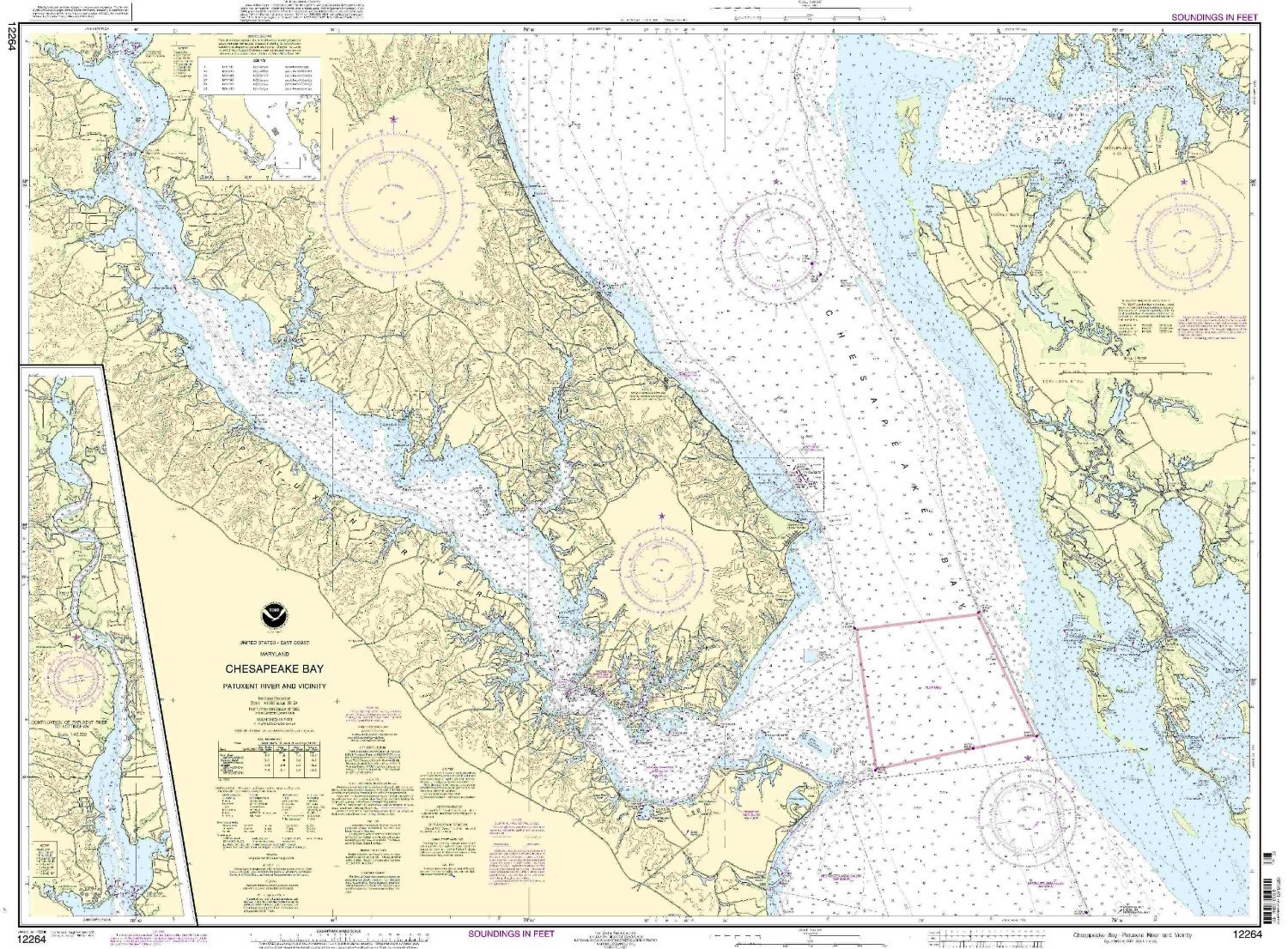
ItemName : NOAA 12264-Chesapeake Bay - Patuxent River and Vicinity
ItemPackageDimensions_Height : 4 inches
ItemPackageDimensions_Length : 36 inches
ItemPackageDimensions_Width : 4 inches
ItemPackageQuantity : 1
ItemTypeKeyword : fishing-charts-and-maps
Manufacturer : OceanGrafix
ModelNumber : MT-12264
PartNumber : 12264
Pattern : Solid
ProductDescription : 1:40000 Scale. Eastern U. S./Canada Region. 35.44'' H x 47.12'' W.
ProductSiteLaunchDate : 2006-08-10T17:33:11-00:00
ShipsGlobally : 1
SupplierDeclaredDgHzRegulation : not_applicable
UnspscCode : 55101500
