
Cart 2 india
In2Cart
Rs. 0
0


Product Information
Specification
Binding : miscellaneous
Brand : Paradise Cay Publications, Inc.
BulletPoint : Laminated Fishing Chart
BulletPoint1 : Printed on high quality waterproof and tear-resistant material
BulletPoint2 : Always printed on demand using the most recent NOAA data
BulletPoint3 : Prepared to be display quality. Arrives rolled, not folded.
BulletPoint4 : Small Format charts DO NOT satisfy USCG CARRIAGE REQUIREMENTS
Color : full color
ExternallyAssignedProductIdentifier1 : 0612524308205
ExternallyAssignedProductIdentifier2 : 612524308205
ItemDisplayDimensions_Length : 30.15 inches
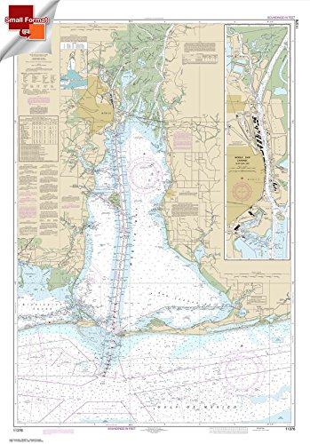
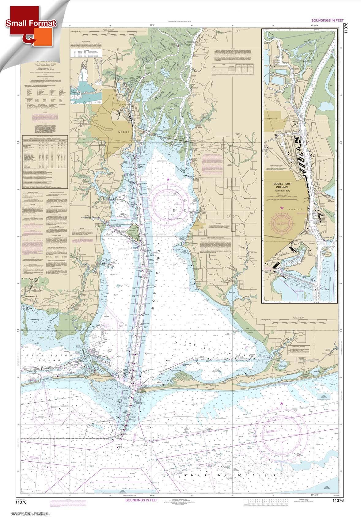
ItemName : Paradise Cay Publications, Inc. NOAA Chart 11376: Mobile Bay Mobile Ship Channel-Northern End 21.00 x 30.15 (Small Format Waterproof)
ItemPackageDimensions_Height : 28.3 centimeters
ItemPackageDimensions_Length : 0.9 centimeters
ItemPackageDimensions_Width : 21.3 centimeters
ItemPackageQuantity : 1
ItemTypeKeyword : fishing-charts-and-maps
Manufacturer : Paradise Cay Publications, Inc.
MapType : Nautical
NumberOfItems : 1
PaperFinish : watercolor
PaperSize : 21.00 x 30.15 inches
PartNumber : NO_11376SF
Pattern : Solid
ProductDescription : Inshore Fishing Chart: Inshore chart (2-3 miles off) highly detailing the Keys, side A, from Bahia Honda Key to Boca Chica Key. Side B, from Boca Chica Key to Boca Grande Key.Cuts Marathon will need the KEY121 also. shows loads of local fishing areas with local names and GPS coordinates 19.5" x 26.5"
ProductSiteLaunchDate : 2014-07-30T23:34:18.816Z
Size : 19.5" x 26.5"
Style : 3. Small Format Chart - 21.00" x 30.15"
SubjectKeyword : 'reference', 'non-fiction'
UnspscCode : 55101501