
Cart 2 india
In2Cart
Rs. 0
0


Product Information
Specification
Binding : miscellaneous
Brand : Paradise Cay Publications, Inc.
BulletPoint1 : Printed on high quality water-resistant paper
BulletPoint2 : Always printed on demand using the most recent data from NOAA
BulletPoint3 : Prepared to be display quality. Arrives rolled, not folded.
BulletPoint4 : Meets U. S. and international carriage requirements for commercial vessels defined in SOLAS Chapter V Regulation 19.2.1.223
BulletPoint5 : U. S. Coast Guard approved
Color : Yellow
ExternallyAssignedProductIdentifier1 : 0612524290470
ExternallyAssignedProductIdentifier2 : 612524290470
ExternallyAssignedProductIdentifier3 : 00857478004050
ItemDisplayDimensions_Length : 48 inches
ItemDisplayDimensions_Width : 33.4 inches
ItemDisplayWeight : 2 pounds
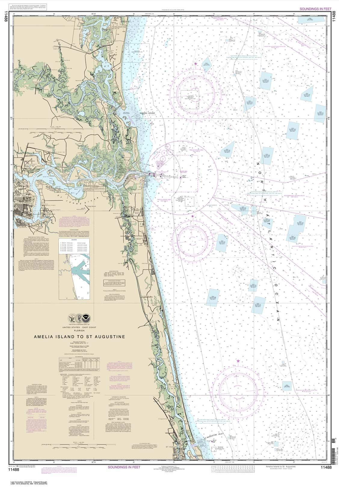
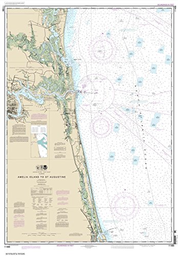
ItemName : Paradise Cay Publications, Inc. NOAA Chart 11488: Amelia Island to St. Augustine, 33.4 X 48, Traditional Paper
ItemPackageDimensions_Height : 4 inches
ItemPackageDimensions_Length : 36 inches
ItemPackageDimensions_Width : 4 inches
ItemPackageQuantity : 1
ItemTypeKeyword : fishing-charts-and-maps
Language : english
Manufacturer : Paradise Cay Publications, Inc.
MapType : Recreation
Material : paper
ModelNumber : LPMNWBRP12-06
PaperFinish : matte
PartNumber : NO_11488
ProductDescription : The chart you are viewing is a NOAA standard nautical chart. Printed "on-demand," it contains all of the latest notice to mariner (NTM) updates as of the time of printing. The National Oceanic and Atmospheric Administration (NOAA) has partnered with OceanGrafix to provide commercial and recreational mariners with the most accurate nautical charts. These charts meet the definition of a nautical chart laid out in SOLAS Chapter V Regulation 2.2 and also meet the carriage requirements defined in SOLAS Chapter V Regulation 19.2.1.4
ProductSiteLaunchDate : 2014-10-10T00:00:00.000-07:00
ShipsGlobally : 1
Style : Traditional
SubjectKeyword : 'non-fiction', 'sci', 'tech'
SubjectKeyword1 : fishingmaps
SubjectKeyword2 : lakecontours
SubjectKeyword3 : lakemaps
SubjectKeyword4 : maps
SupplierDeclaredDgHzRegulation : not_applicable
UnspscCode : 55101500