
Cart 2 india
In2Cart
Rs. 0
0


Product Information
Specification
Binding : apparel
Brand : Paradise Cay Publications, Inc.
BulletPoint : Laminated Fishing Chart
BulletPoint1 : Printed on high quality water-resistant paper
BulletPoint2 : Always printed on demand using the most recent data from NOAA
BulletPoint3 : Prepared to be display quality. Arrives rolled, not folded.
BulletPoint4 : Expertly researched, color coded, marked fishing areas included and boat accesses clearly marked
Color : double sided
ExternallyAssignedProductIdentifier1 : 0612524294010
ExternallyAssignedProductIdentifier2 : 612524294010
ItemDisplayDimensions_Length : 45 inches
ItemDisplayDimensions_Width : 35.3 inches
ItemDisplayWeight : 2 pounds
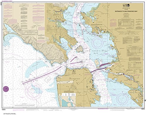
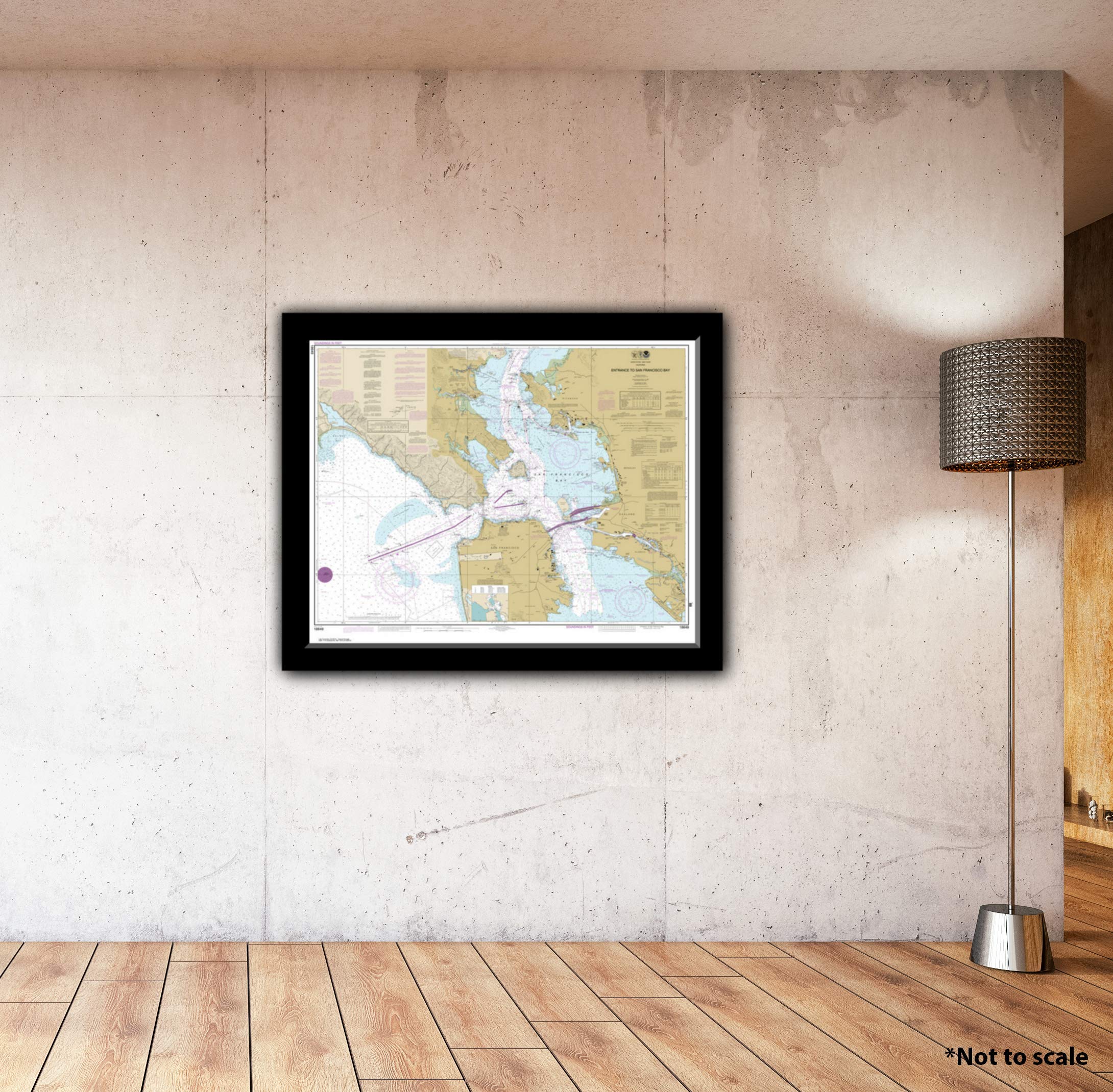
ItemName : Paradise Cay Publications, Inc. NOAA Chart 18649: Entrance to San Francisco Bay (Traditional Paper) 35.3 x 45
ItemPackageDimensions_Height : 28.3 centimeters
ItemPackageDimensions_Length : 0.9 centimeters
ItemPackageDimensions_Width : 21.3 centimeters
ItemPackageQuantity : 1
ItemTypeKeyword : fishing-charts-and-maps
Manufacturer : Paradise Cay Publications, Inc.
MapType : Nautical
MapType1 : Topographic
MapType2 : Navigational
NumberOfItems : 1
PaperFinish : watercolor
PaperSize : 33.6 x 38.8 inches
PartNumber : NO_18649
Pattern : Solid
ProductDescription : Inshore Fishing Chart: An inshore chart 1-2 miles off the coast detailing the bays. Delaware Bay, Delaware River to Wilmington, DE C & D Canal. Double sided laminated fishing Chart. Shows fishing areas, wrecks, reefs, local names and amenities in GPS out to the thousandths of a minute. 19.5" x 26.5"
ProductSiteLaunchDate : 2014-07-30T22:04:10.820Z
Size : 19.5" x 26.5"
Style : Traditional
SubjectKeyword : 'reference', 'non-fiction'
UnspscCode : 60101700