
Cart 2 india
In2Cart
Rs. 0
0


Product Information
Specification
Binding : map
Brand : Paradise Cay Publications
BulletPoint1 : An alternative to large, full scale charts which may too big to manage, especially on the water in a small vessel.
BulletPoint2 : Exact replica of the full scale version of the corresponding NOAA Chart 11415, just printed in smaller scale and offered in a booklet form.
BulletPoint3 : Your Booklet chart will be printed on demand for your order and will include all updates at the time of printing.
BulletPoint4 : Printed on high-quality durable paper with stapled (saddle-stitched) binding.
BulletPoint5 : Handy 8.5 x 11 inch size. Page count varies depending on the chart.
Color : Multicolor
ExternallyAssignedProductIdentifier1 : 0617270063224
ExternallyAssignedProductIdentifier2 : 617270063224
Format : folded_map
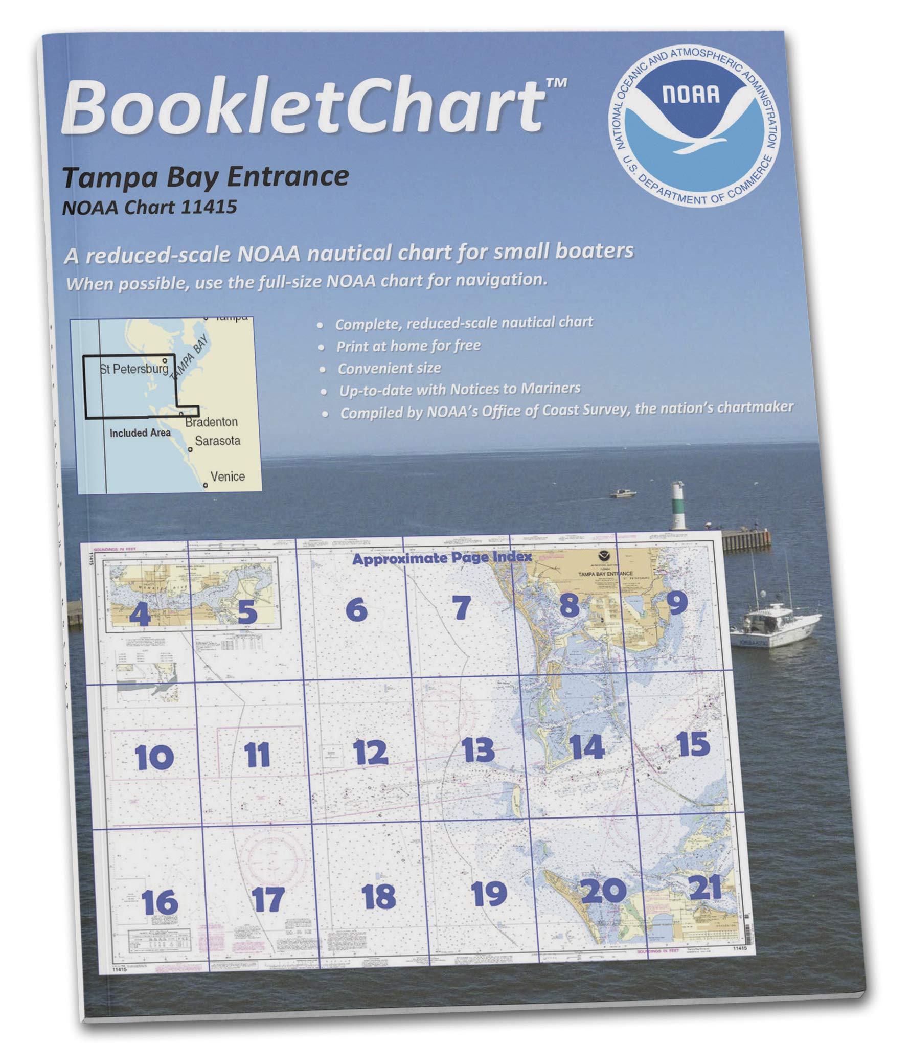
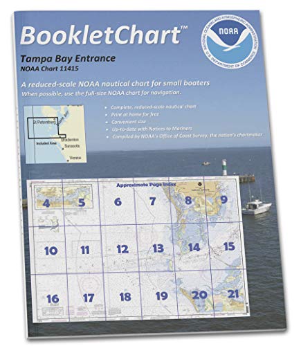
ItemName : Paradise Cay Publications NOAA BookletChart 11415: Tampa Bay Entrance; Manatee River Extension
ItemTypeKeyword : fishing-charts-and-maps
Language : english
Manufacturer : Paradise Cay Publications
MapScale : 1:24,000
Material : paper
PartNumber : CB18521
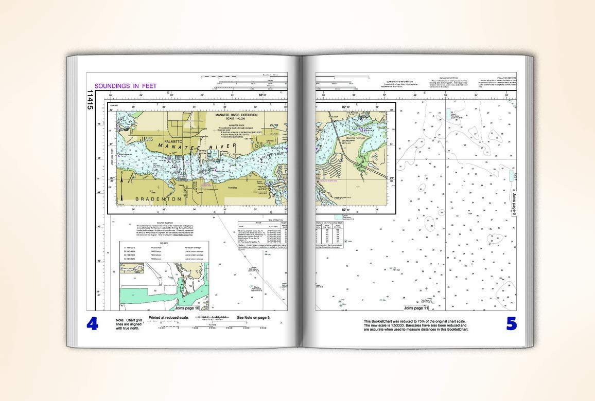
ProductDescription : This BookletChart is made to help recreational boaters locate themselves on the water. It has been reduced in scale for convenience, but otherwise contains all the information of the full-scale nautical chart. The bar scales have also been reduced, and are accurate when used to measure distances in this BookletChart. This BookletChart does NOT fulfill chart carriage requirements for regulated commercial vessels under Titles 33 and 44 of the Code of Federal Regulations but it has been updated for chart corrections published in the U.S. Coast Guard Local Notice to Mariners, the National Geospatial Intelligence Agency Weekly Notice to Mariners, and, where applicable, the Canadian Coast Guard Notice to Mariners. These BookletCharts have been one of NOAA’s handiest navigation products, especially for recreational boaters. The began as a Coast Survey’s experimental butr because of their success they have now moved the BookletCharts from experimental stage into official production. Nearly 1,000 newly updated BookletCharts are available, they cover the 95,000 miles of U.S. coastline and the Great Lakes. These handy BookletCharts are smaller scale than our traditional paper charts, but they contain most of the information found on a full-scale nautical chart. NOAA’s nautical charts help to protect lives and property, and boaters should take advantage of these nautical products. Many boaters don’t use nautical charts, trusting local knowledge or their memories. But that can be dangerous, as seafloors constantly shift, shorelines erode, and dangers to navigation are discovered. BookletCharts will tell a boater about these developments, and will help ensure a safe voyage, whether it is around the bay or down the coast.
ProductSiteLaunchDate : 2020-05-05T18:06:44.689Z
PublicationDate : 2017-09-02T00:00:00.000-07:00
Style : BookletChart
UnspscCode : 60101700