
Cart 2 india
In2Cart
Rs. 0
0


Product Information
Specification
AgeRangeDescription : Kid
Binding : apparel
Brand : Paradise Cay Publications
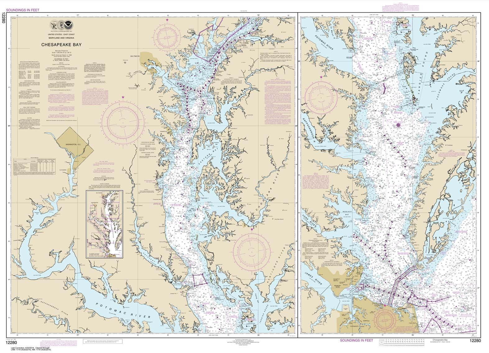
BulletPoint : Hot Spot Map Kentucky Lake-Central Blood River to Big Sandy
BulletPoint1 : Printed on high quality water-resistant paper
BulletPoint2 : Always printed on demand using the most recent data from NOAA
BulletPoint3 : Prepared to be display quality. Arrives rolled, not folded.
BulletPoint4 : The maps measure 8-1/2 x 14 inches much larger than most river guide books
BulletPoint5 : Spiral binding and stiff covers that make them lay flat and easy to use
Color : blue ocean
EducationalObjective : 1
ExternallyAssignedProductIdentifier1 : 0612524290807
ExternallyAssignedProductIdentifier2 : 612524290807
ExternallyAssignedProductIdentifier3 : 0751738343821
ExternallyAssignedProductIdentifier4 : 0852675836824
ItemDisplayDimensions_Length : 46.5 inches
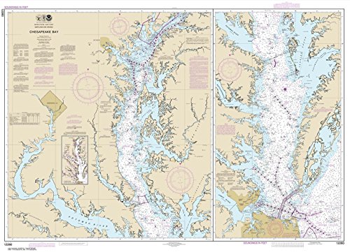
ItemName : Paradise Cay Publications NOAA Chart 12280: Chesapeake Bay 33.7 x 46.5 (Traditional Paper)
ItemPackageDimensions_Height : 22.8 centimeters
ItemPackageDimensions_Length : 0.2 centimeters
ItemPackageDimensions_Width : 15.5 centimeters
ItemPackageQuantity : 1
ItemTypeKeyword : fishing-charts-and-maps
Manufacturer : Paradise Cay Publications
MapType : Topographic
Material1 : Plastic
Material2 : Rubber
ModelNumber : MT-11426
NumberOfItems : 1
NumberOfPieces : 1
OperationMode : Manual
PaperFinish : specially_coated
PaperSize : 33.7 x 46.5 inches
PartNumber : NO_12280
Pattern : Solid
ProductDescription : RiverMaps map books "go with the flow". Each map is oriented so the river flows upward on the page. No more turning your map upside down or twisting your head to read it. RiverMaps map books are printed on water-resistant paper specially made for all-weather use. The maps measure 8-1/2 x 14 inches - much larger than most river guide books. The books have spiral binding and stiff covers that make them lay flat and easy to use. RiverMaps map books are printed with USGS 7. 5' topographic maps as the background at the original map scale of 2,000 feet per inch. Additional information is added for river runners, including river mileage, campsites, rapids, and other features of interest. These maps provide more information to river runners who want to see more of the river corridor. Theyre great for planning side hikes!
ProductSiteLaunchDate : 2014-10-10T00:00:00.000-07:00
ShipsGlobally : 1
Size : Traditional
Style : 1. Full-Sized Paper Chart - 33.7" x 46.5"
SupplierDeclaredDgHzRegulation : not_applicable
TargetAudienceKeyword1 : Fisherman, map
TargetAudienceKeyword2 : men, women
TargetAudienceKeyword3 : outdoor people
TargetGender : unisex
TargetSpecies1 : Bass
TargetSpecies2 : Walleye
TargetSpecies3 : Panfish
Theme : Map
UnitCount : 1
UnspscCode : 55101500