
Cart 2 india
In2Cart
Rs. 0
0


Product Information
Specification
Brand : Paradise Cay Publications, Inc.
BulletPoint1 : Choose between Historical and Updated NCC versions of this chart.
BulletPoint2 : Updated Chart: To get an up to date chart based on this area choose NCC. NCC charts are created directly from the latest official NOAA electronic navigational chart (ENC) data.
BulletPoint3 : Historical Chart: This chart has been canceled by NOAA and is no longer maintained with updated data. The data from which this print on demand chart is produced is NOT certified by NOAA for navigation use, and is NOT correct to the date of printing
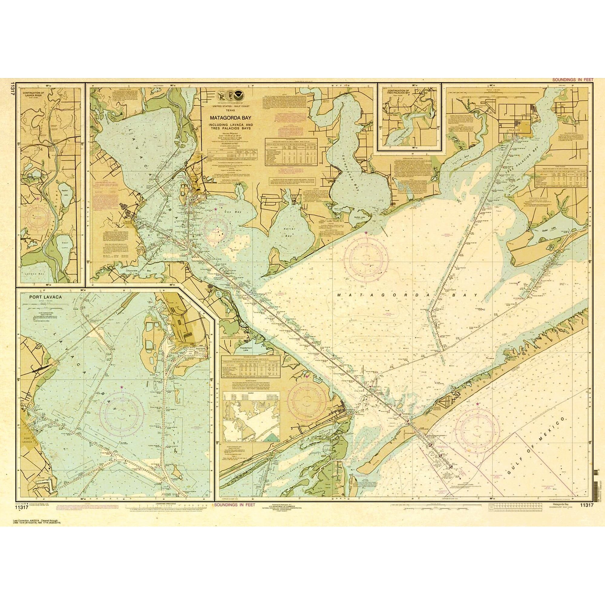
BulletPoint4 : Includes soundings, buoys, beacons and other aids to navigation, compass roses and the like. A graphic and a representative fraction scale, and other marginalia appear below the chart panel.
BulletPoint5 : Sizes: Available in Full Size and Large Format. All charts shipped rolled in a tube. Please contact USCG for carriage requirements.
Color : White
ExternallyAssignedProductIdentifier1 : 0745808179298
ExternallyAssignedProductIdentifier2 : 745808179298
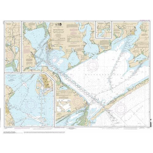
ItemName : Paradise Cay Publicatoins, Inc. Historical NOAA Chart 11317: Matagorda Bay including Lavaca, Tres Palacios Bays; Port Lavaca; Continuation of Lavaca River - POD - Historic - NCC
ItemShape : Rectangular
ItemTypeKeyword : fishing-charts-and-maps
Material : Paper
NumberOfItems : 1
Orientation : Landscape
PaintType : Watercolor
PartNumber : NO_11317H
Pattern : Printed
ProductDescription : In a November 2019 notice in the Federal Register, NOAA announced the sunsetting of its traditional paper and raster nautical chart products. Cancellation of individual charts started in 2021 and will be completed by January 2025. Ending traditional chart production will enable NOAA to devote more resources to improving the electronic navigational chart (ENC) product suite, which is expected to grow from the 1700 ENCs maintained in 2021 to about 7200, higher quality, more detailed ENC cells. HISTORICAL CHART: The data on the chart is presented in a manner similar to traditional paper nautical charts, showing soundings, buoys, beacons and other aids to navigation, compass roses and the like, although some chart symbology may differ slightly. A graphic and a representative fraction scale, and other marginalia appear below the chart panel. This chart has been canceled by NOAA and is no longer maintained with updated data. Chart is NOT up-to-date since it is out of continual maintenance. Chart is NOT updated daily and being printed on demand will NOT provide the latest published data possible This is NOT the most fully corrected, up-to-date U.S. charts available Chart is NOT updated weekly and does NOT include all of the latest Notice to Mariners corrections. The data from which this POD chart is produced is NOT certified by NOAA for navigation use, and is NOT correct to the date of printing Future Notice to Mariners corrections will NOT be applied to this chart
Size : 37L" x 49W"
TargetGender : unisex
Theme : Map
UnspscCode : 55101500