
Cart 2 india
In2Cart
Rs. 0
0


Product Information
Specification
Brand : Waterproof Charts
BulletPoint1 : Two Sided
BulletPoint2 : Foldable
BulletPoint3 : Tear Resistant Synthetic Paper (Hop-Syn) 5 PP Tree Friendly
BulletPoint4 : These waterproof charts satisfy USCG CARRIAGE REQUIREMENTS
BulletPoint5 : Handy 8.5 x 11 inch size. Page count varies depending on the chart.
Color : Red
ExternallyAssignedProductIdentifier1 : 740399007906
ExternallyAssignedProductIdentifier2 : 0740399007906
ExternallyAssignedProductIdentifier3 : 00053394000668
ItemDisplayDimensions_Height : 8 inches
ItemDisplayDimensions_Length : 25 inches
ItemDisplayDimensions_Width : 38 inches
ItemDisplayWeight : 0.83 pounds
ItemName : Waterproof Charts, Standard Navigation, 79 San Joaquin River and Delta
ItemPackageDimensions_Height : 63.6 centimeters
ItemPackageDimensions_Length : 2.7 centimeters
ItemPackageDimensions_Width : 3.6 centimeters
ItemPackageQuantity : 1
ItemShape : Rectangular
ItemTypeKeyword : fishing-charts-and-maps
Manufacturer : Waterproof Charts
Material : Polypropylene
ModelNumber : SFR
MountingType : Wall Mount
NumberOfItems : 1
Orientation : Landscape
PaintType : Watercolor
PartNumber : 79
Pattern : Printed
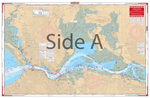
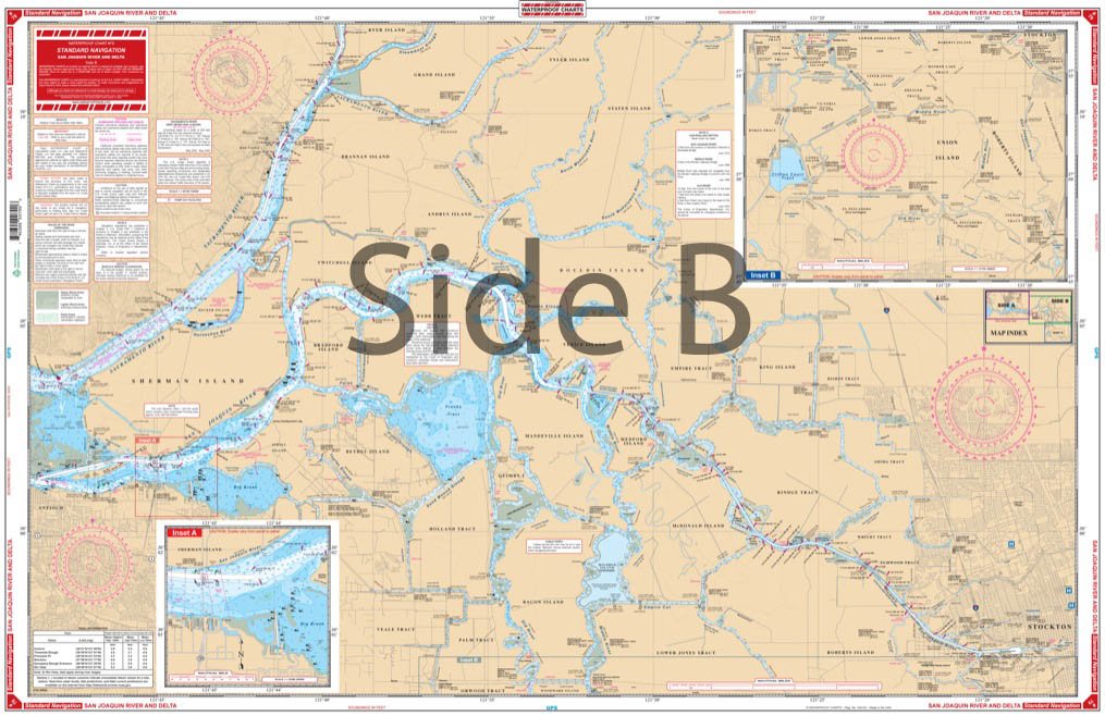
ProductDescription : From Vallejo and Mare Island, this chart covers the Sacramento River to Sherman Island, the Suisun Slough to Suisun City, and the Napa River to Suscol with details of Pittsburg and Antioch on side A. Side B follows th San Joaquin upstream to Stockton and covers the many channels both north of Stockton to Staten Island and south to El Pescadero and Mossdale. Fueling facilities are indicated by over 50 added red designators. Colored chart key and large print place names makes this chart easy to use. A detailed inset for the State Highway 160 bridge area has been added. Information from 4 NOAA Charts: #18651, #18654, #18656, and #18652. Chart is 25" X 38". WGS84 - World Mercator Datum. Traversing the rivers of California by boat, kayak, paddleboard, or jetski is now much easier with this navigation chart. From Vallejo and Mare Island, this nautical map covers the Sacramento River to Sherman Island, the Suisun Slough to Suisun City, and the Napa River to Suscol with details of Pittsburg and Antioch on side A. Side B follows th San Joaquin upstream to Stockton and covers the many channels both north of Stockton to Staten Island and south to El Pescadero and Mossdale. Fueling facilities are indicated by over 50 red designators. A detailed inset for the State Highway 160 bridge area has been added to this marine map. Colored chart key and large print place names makes this Sacramento River map easy to use and excellent for framing. Information from 4 NOAA Charts: #18651, #18654, #18656, and #18652. Nautical Chart is 25" X 38". WGS84 - World Mercator Datum.
ProductSiteLaunchDate : 2001-10-01T00:01:00-00:00
Size : 38L" x 25W"
Style : Nautical
SupplierDeclaredDgHzRegulation : not_applicable
TargetGender : unisex
Theme : Highway,Nautical
UnspscCode : 60101700
WarrantyDescription : One Year Warranty