


Round Center Finder Compass, 12in Circle Gauge Woo
₹7150 -37% ₹4500/-
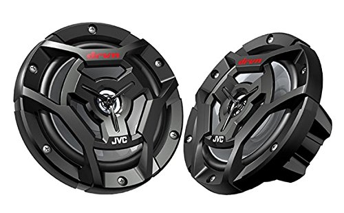
JVC CS-DR6200M Marine Speaker 6.5" 2-Way Black
₹30170 -38% ₹18700/-

Portable Fish Depth Finder Handheld Fish Finder wi
₹15890 -32% ₹10800/-
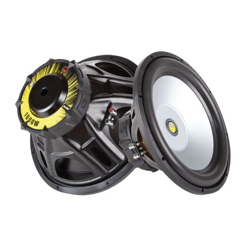
Gravity Audio 1600W Professional 15" Power Car Sub
₹37620 -37% ₹23700/-

Marine Field Installable Connector, For NMEA 2000
₹4160 -35% ₹2700/-

Two Way Marine Speaker System, One Pair 6.5 inch M
₹19410 -33% ₹13000/-

Owner 5315-121 All Purpose Hooks, 34-Pack, Sz2/0,
₹6150 -30% ₹4300/-

Hifonics ZG12D4 Zeus Gamma ZG Series 12-Inch 800 W
₹18620 -35% ₹12100/-

Panther Martin PMDF-6DFHFG Dual Flash, Holo Fire T
₹4470 -35% ₹2900/-

aqxreight Sounder Mount,Boat Fishfinder Mount Adju
₹5980 -33% ₹4000/-

AV Navigation Instrument Sextant Maritime Astrolab
₹33440 -36% ₹21400/-

Skar Audio SKM10WBD2 10" 1000W Max Power Dual 2 Oh
₹75410 -39% ₹46000/-
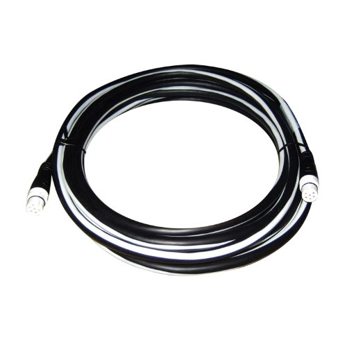
Raymarine 3M Boat Spur Cable for SeaTalkng
₹19860 -33% ₹13300/-

Lowrance 000-14582-001 HDS-7 Live Suncover, Black,
₹13810 -37% ₹8700/-

Skar Audio SKM8WBD4 8" 500W Max Power Dual 4 Ohm M
₹53190 -34% ₹35100/-

Raymarine 200KHz Raymarine M78713-PZ 200KHz, Pl Th
₹36720 -30% ₹25700/-

Raymarine A80555 Element 12" Surface Mount Kit
₹16960 -31% ₹11700/-

MAGICLULU Glare Sunshade for Navigator Easy to Ins
₹5680 -33% ₹3800/-

Skar Audio EVL-65 D2 6.5" 400 Watt Max Power Dual
₹25840 -40% ₹15500/-

KICKER 51KM604WL KM 6.5" 150 Watts Max Power 4 ohm
₹168190 -34% ₹111000/-
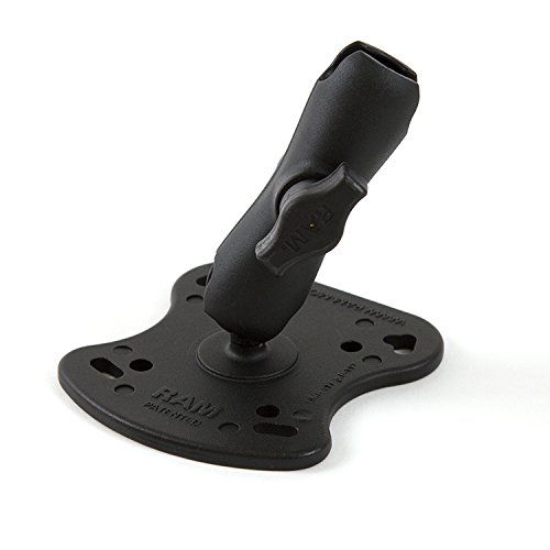
Hobie RAM Fishfinder Base with 1in Arm
₹14770 -37% ₹9300/-

Browning BR-78 Flat Coil CB Antenna
₹17880 -34% ₹11800/-
![Ronstan Series 15 Ball Bearing Utility Block - Stand-Up Block [RF15141]](https://m.media-amazon.com/images/I/41ULvbJHzLS._AC_UL320_.jpg)
Ronstan Series 15 Ball Bearing Utility Block - Sta
₹16160 -35% ₹10500/-

Mack's Lure Hot Wings, Green Sparkle and Red Spark
₹4550 -34% ₹3000/-

Polyplanar - POLYPLANAR MA-5500 SPEAKER
₹72260 -38% ₹44800/-

VGEBY Fishing Bracket Rod Holder, ABS 360 Degrees
₹9000 -40% ₹5400/-

Luhr Jensen Super Duper Spoon, Brass/Red Head, 1 1
₹5160 -36% ₹3300/-

Z-MAN DM6-241PK3 Doormatadorz 6" Nuked Chicken Glo
₹5410 -39% ₹3300/-

Davis Instruments Navigation Rules Quick Reference
₹7220 -39% ₹4400/-
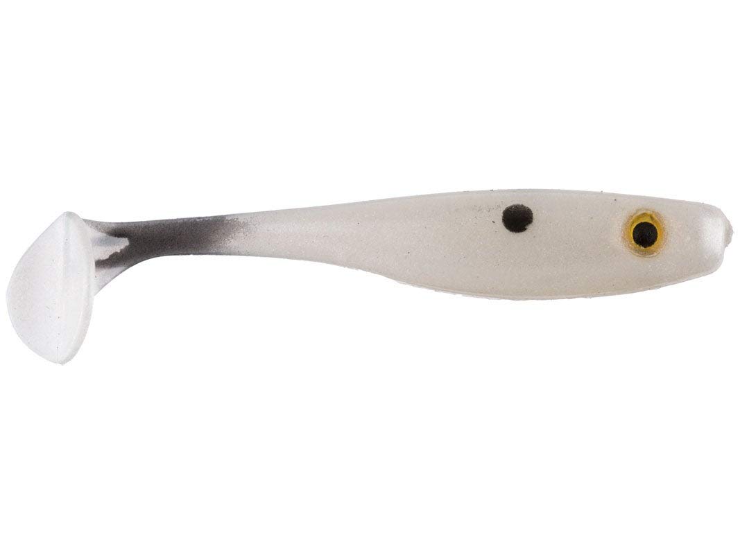
7" Suicide SHAD/Pearl (2 Pack)
₹5000 -38% ₹3100/-