
Cart 2 india
In2Cart
Rs. 0
0


Product Information
Specification
AudioOutputMode : Stereo
Brand : C-MAP
BulletPoint : Garmin GMR1234 xHD3 12Kw 4' Open Array Network Radar
BulletPoint1 : Shaded Relief Reveal Layer
BulletPoint2 : Satellite Imagery
BulletPoint3 : Full-Featured Vector Charts
BulletPoint4 : Hi-Resolutions Bathymetry
BulletPoint5 : Custom Depth Shading
CompatibleDevices1 : Simrad NSX
CompatibleDevices2 : Simrad NSX Ultrawide
CompatibleDevices3 : B&G Zeus S
ExternallyAssignedProductIdentifier : 9420064129072
ExternallyAssignedProductIdentifier1 : 0753759309961
ExternallyAssignedProductIdentifier2 : 8714895051932
ExternallyAssignedProductIdentifier3 : 753759309961
FrequencyBandsSupported : 3 GHz, 10 GHz
HasColorScreen : 1
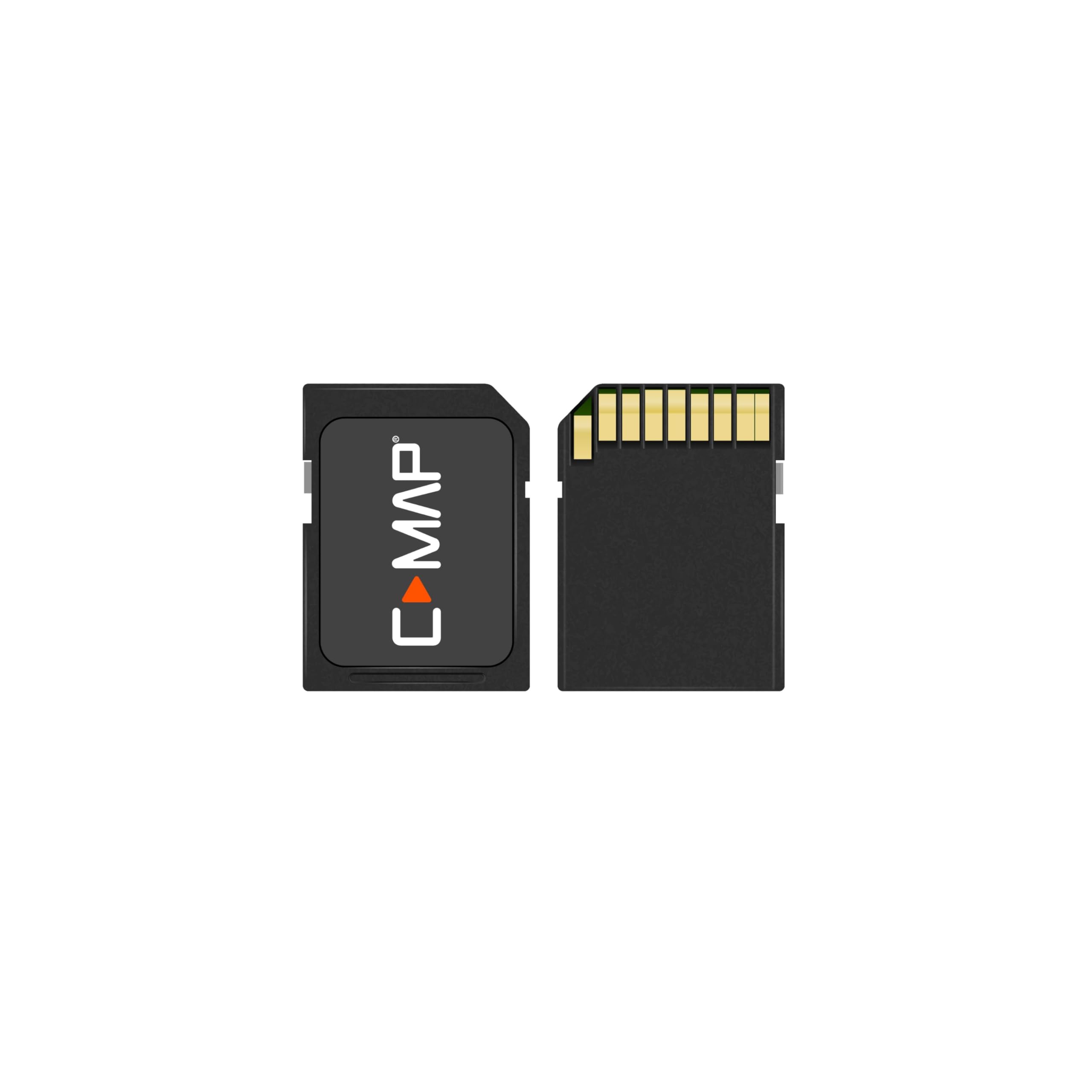
IncludedComponents1 : MicroSD Card
IncludedComponents2 : SD Card adapter
ItemName : C-MAP M-NA-T-202-R-MS Reveal X - Nova Scotia to Chesapeake Bay Marine Mapping Chart Card
ItemPackageDimensions_Height : 0.19 inches
ItemPackageDimensions_Length : 5.7 inches
ItemPackageDimensions_Width : 4.1 inches
ItemPackageQuantity : 1
ItemTypeKeyword : marine-radar-systems
Manufacturer : C-MAP
MapType : Nova Scotia to Chesapeake Bay
ModelName : Reveal X
ModelNumber : M-NA-T-202-R-MS
ModelYear : 2022
NumberOfItems : 1
PackageLevel : unit
PartNumber : M-NA-T-202-R-MS
ProductDescription : Garmin GMR™ 1234 xHD3 12kw 4' Open Array Radar and Pedestal Model: K10-00012-26 SCAN AVERAGING TECHNOLOGY IMPROVED TARGET-SIZE PROCESSING SPLIT-SCREEN DUAL-RANGE DISPLAY 100-KNOT COMMERCIAL GRADE WIND RATING QUIET OPEN-ARRAY DRIVE MOTOR A first for Garmin magnetron radar, scan averaging helps filter out sea clutter and interference to enhance the detection and display of consistent targets. Pulse expansion and angular target-size processing techniques optimize on-screen object shapes for better interpretation at all range scales. The 100-knot wind-rated open-array antennas 1 have rotation speeds of 24 and 48 RPM for fast redraw rates, with max range up to 96 nautical miles on the 25-kW versions (up to 72 nautical miles on the 4- and 12-kW versions). A historical "trail" of boats on the water is displayed on the screen, removing relative motion influence to help you quickly identify moving targets and potential collision threats. A single radar antenna is capable of providing split-screen, side-by-side images on your compatible chartplotter, with independent range setting and controls for both close and long range. Overlay either or both ranges on a chart. Gain automatically adjusts levels to optimum settings for harbors, near shore and offshore in open waters. See overlaid images on your chartplotter’s map screen (with appropriate sensors, sold separately). Pick out targets at a distance, thanks to narrow horizontal beamwidth and high antenna gain. Dual-radar support provides redundancy and allows each display unit to pull data from different sources. Radar gain automatically adjusts sea clutter for calm, medium and rough sea conditions. Dynamic sea filter radar gain automatically adjusts sea clutter for calm, medium and rough sea conditions. Locate flocks of birds at the water’s
ProductSiteLaunchDate : 2024-09-11T16:56:21.404Z
SupplierDeclaredDgHzRegulation : not_applicable
UnspscCode : 55111500
WarrantyDescription : 2 year manufacturer