
Cart 2 india
In2Cart
Rs. 0
0


Product Information
Specification
Binding : map
Brand : TASMAP
BulletPoint1 : VERSATILE CONTENT: Features Spanish language reading examples including song, train schedule, movie schedule, calendar, obituary, recipe, and soccer schedule for patient assessment.
BulletPoint2 : VISION ACUITY LEVELS: Includes comprehensive reading examples for multiple acuity levels: 20/30, 20/40, 20/50, 20/800, 20/100, and 20/160.
BulletPoint3 : TESTING DISTANCE: Designed for optimal use at 16 inches (40 centimeters) testing distance for accurate vision assessment.
BulletPoint4 : DURABLE DESIGN: Card measures 8.5 x 10.5 inches (28cm x 22cm) and features lamination for extended durability and repeated use.
BulletPoint5 : PROFESSIONAL TOOL: Ideal for vision care professionals conducting near vision assessments with Spanish-speaking patients.
Color : Multicolor
ExternallyAssignedProductIdentifier : 9318923008296
ExternallyAssignedProductIdentifier1 : 0609832597179
ExternallyAssignedProductIdentifier2 : 609832597179
Format : folded_map
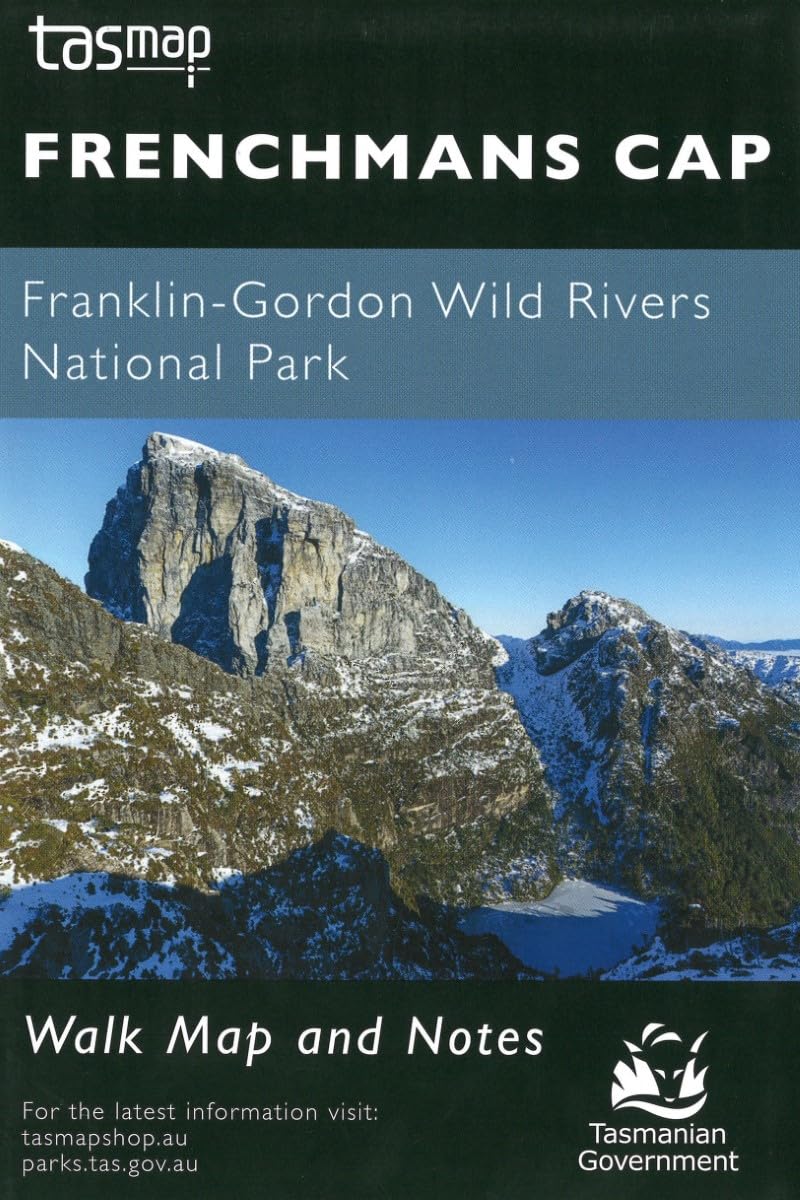
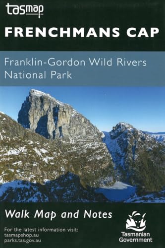
ItemName : Frenchmans Cap (Franklin-Gordon Wild Rivers National Park) Walk Map and Notes
ItemPackageDimensions_Height : 1 inches
ItemPackageDimensions_Length : 11 inches
ItemPackageDimensions_Width : 8.5 inches
ItemTypeKeyword : outdoor-recreation-topographic-maps
Language : english
Manufacturer : TASMAP
MapScale : 1:50,000
PaperSize : 8.5 inches x 10.5 inches
PartNumber : WKFRENCH
ProductDescription : The magnificent quartzite dome of Frenchmans Cap (1443m) is a mecca for bushwalkers and climbers. The panoramic view from the peak on a clear day includes Mt Ossa, features of the southern end of Cradle Mountain - Lake St Clair National Park and Macquarie Harbour to the west. This map features the topography, trails, and ammenities of the area.
ProductSiteLaunchDate : 2024-10-23T20:18:50.142Z
PublicationDate : 2023-06-01T00:00:00.000-07:00
SupplierDeclaredDgHzRegulation : unknown
UnspscCode : 55101500